Cedar Run Wetlands Bank
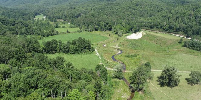
Wetland Studies and Solutions, Inc. created, restored, and enhanced 375 acres of wetlands, 3.5 acres of open water, 81 acres of preserved wetlands, and 216 acres of preserved or reforested upland buffers along the Cedar Run in Virginia.
Project Narrative:
The Cedar Run Wetlands Bank represents the largest mitigation bank in the D.C. Metropolitan area. The bank currently consists of eight different tracts of land comprising a total of approximately 715 acres within the Cedar Run watershed. Wetland construction was completed as follows:
- 63 acres (Phase 2) in September 2000
- 245 acres (Phases 3 and 4) in October 2001
- 230 acres (Phases 2A, 6, and 8) in October 2002
- 67 acres (Phases 1B and 9) in October 2004
- 106 acres (Phase 10) in September 2005
Located immediately adjacent to Cedar Run in Prince William and Fauquier Counties, these phases provide a total of 375 acres of created, restored, and enhanced wetlands, 3.5 acres of open water, 81 acres of preserved wetlands, and 216 acres of preserved or reforested upland buffers, including mature bottomland forest along Cedar Run.
Wetland Restoration Leads To Enhance Habitat Diversity
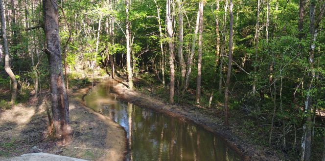
The wetlands were constructed on former cattle pasture and cultivated land, and each phase has its own unique design elements. For example, Phase 2 was constructed to preserve most of the previously existing emergent wetlands by incorporating them into the construction design and enhancing them through the planting of trees and shrubs. Phase 2A, on the other hand, contains open water areas and complex mosaics of emergent, scrub-shrub, and forested wetlands that further enhance habitat and wildlife diversity.


