Dominion Energy
DRG leverages drone-captured LiDAR data and 3D PLS CADD maps to pinpoint potential hazard trees during construction of Dominion’s new overhead electric transmission, cutting down on unpredictable costs and potential schedule delays.
The Challenge
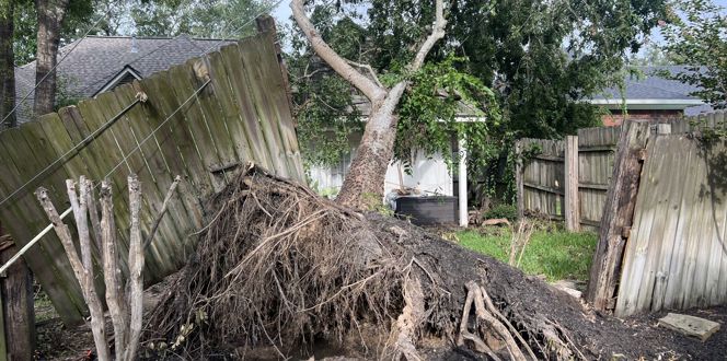
Construction of new utility infrastructure can come with a laundry list of requirements and costs. From clearing new corridors of trees and vegetation to the installation of new structures and utility lines, utility managers have a lot to juggle during construction projects. It’s especially difficult to accurately estimate all the clearing costs associated with a new construction project, which can be a major challenge for utilities.
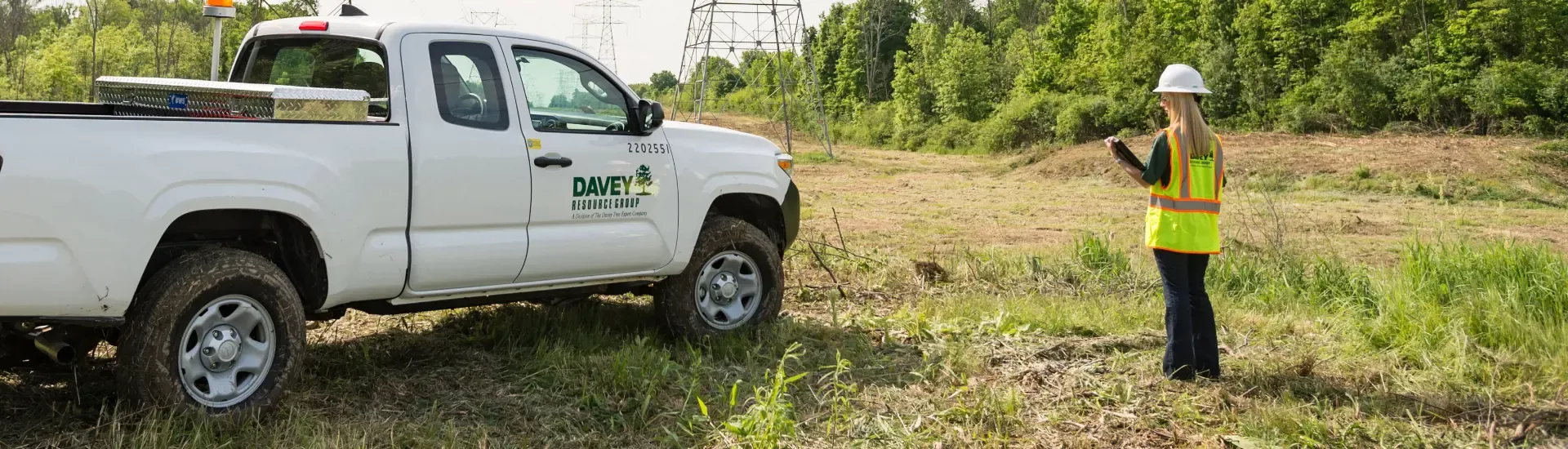
During construction of a new overhead electric transmission right-of-way (ROW), Dominion Energy wanted to avoid unpredictable forestry costs that could affect project progress. Calling on their longtime partnership with Davey Resource Group (DRG), Dominion found a unique solution for its challenge.
The Solution
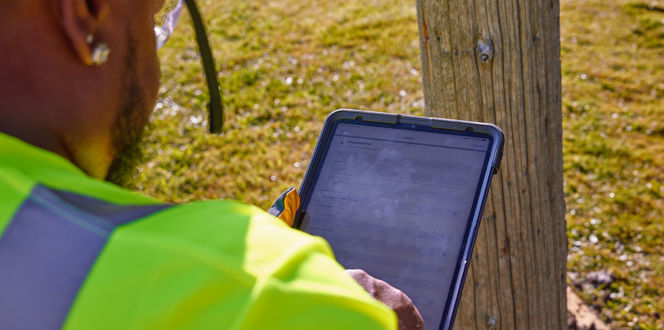
In the summer of 2023, DRG’s remote sensing and drone teams flew drones over the construction site to flag danger trees located outside of the planned project area that could potentially become fall-in risks once clearing and construction was underway. Once captured, DRG used the utility construction team’s 3D computer-aided design (PLS CADD) drawing of the planned ROW to create a map that indicated the potentially dangerous trees.
DRG's remote sensing team was able to capture, process and deliver the Lidar data for 20 line miles within a three week timeframe, sharing their findings with Dominion to implement during the clearing phase. Having this quick turnaround was paramount for the success of the projects to allow Dominion to include the data in their bid packages. This new model of collecting, processing, analyzing, and delivering data within a few weeks time has revolutionized the use of LiDAR data.
The Results
DRG’s unique application of drone and LiDAR technology for new construction assessments is a proactive solution that provides a full scope of data needed throughout the construction process. Armed with this data, Dominion can obtain more precise clearing costs and avoid potential schedule delays by removing trees flagged as hazards before they cause damage.
Dominion hopes to use this new technology application throughout its operations.
>> Contact us to learn more about Davey’s utility solutions


Related Client Work
Davey Helps CenterPoint Energy Restore Power To Houston Customers After Hurricane Beryl