Urban land development is growing exponentially across the United States. According to the University of Michigan’s Center for Sustainable Systems, 83% of the U.S. population are living in urban areas, resulting in an increased need for housing and commercial development. Between 2000 and 2010, urban land area in the U.S. increased by 15%, and it is expected to more than double by 2060.
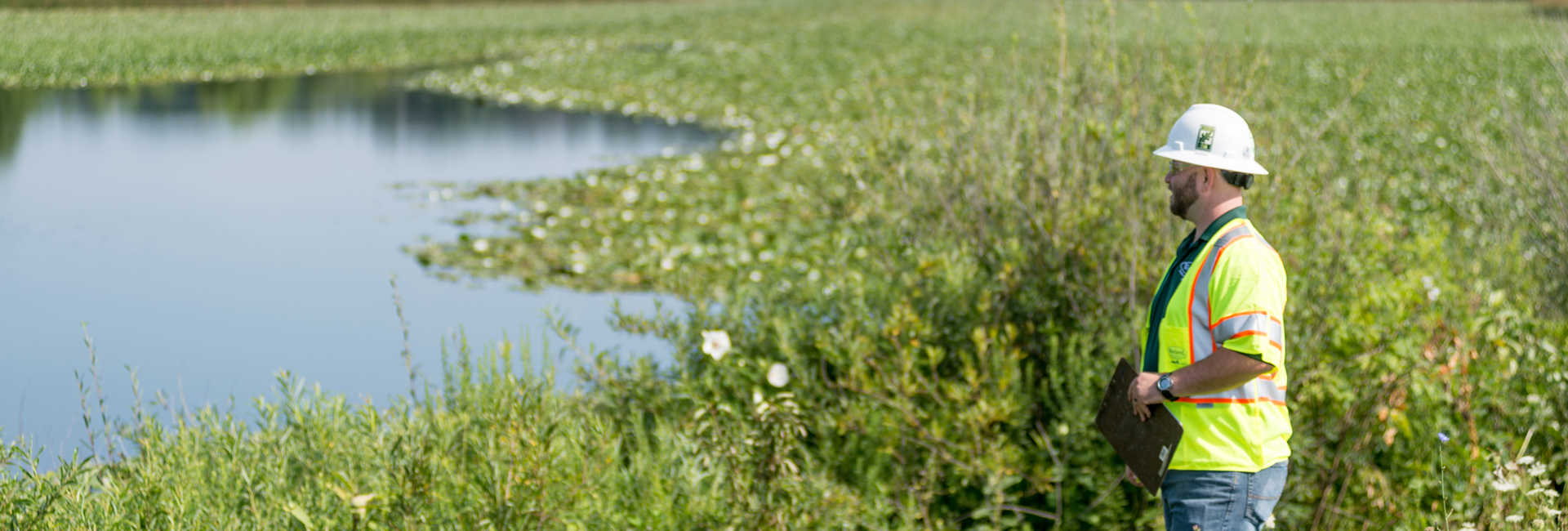
Land development can be a time consuming and challenging process. Permits and regulations can create confusion that can easily stop project progress in its tracks, especially when it comes to projects that impact natural resources. Wetlands and streams are vital parts of a natural ecosystem that are usually protected by state and federal regulations. If a protected water resource like a wetland is located on the site being developed, what can be done to keep the project moving forward?
The Water Resource Checklist
When a wetland and/or stream is present, adding a few steps during the planning stages of a project can help minimize hurdles during construction. These steps include:
- Identification – Some wetlands and streams can be easily identified, but most are not. Although experienced developers may have cultivated a keen eye to spot protected waters, a water resource delineation can provide certainty. A delineation identifies and locates potentially protected water resources found on the property being assessed. During the delineation process, the boundaries of onsite water resources such as wetlands and streams are mapped using a GPS unit. Data collected is used to generate mapping that helps determine if coordination with state and/or federal agencies is necessary to develop the site.\
- Reporting/Verification – If water resources are identified onsite, a report of the findings is typically generated by a team of specialists and sent to the U.S. Army Corps of Engineers (USACE) for verification.
- Permitting – If impacts of a protected water resource are needed to complete a project, developers must obtain a permit prior to impacting the identified resource. The type of permit depends on the jurisdiction it falls under, either the USACE or U.S Environmental Protection Agency (EPA), as well as the quantity of impacts proposed. Some state and local permits may also be required.
- Mitigation – During the permitting process, the developer may be required to complete wetland mitigation to offset any impacts made to the water sources. The precise mitigation necessary depends on a variety of factors such as the quality of the resource, quantity of impacts, and the jurisdiction (EPA or USACE) of the water resources.
Finding Your Unique Solution
Compensatory mitigation can be completed through many different mechanisms, one of the most common being permittee-responsible mitigation (PRM). PRM puts the onus to find a mitigation solution onto the land owner or developer.
Mitigation comes with its own set of complexities. Finding a partner that can help navigate the compensatory mitigation waters is an invaluable asset to have. Our experts help clients throughout all phases of the compensatory mitigation process, from design, construction, monitoring, and maintenance with Davey Resource Group (DRG) and turn-key mitigation bank solutions through Davey Mitigation. Our turn-key mitigation solutions are all encompassing, covering every aspect of implementation from mitigation design and construction, to monitoring, maintenance, and long-term disposition of the mitigation site, fully transferring mitigation performance risk from the permittee to DRG for the entire mitigation solution.


